Image
SAGA: The South Atlantic Gateway in the global conveyor belt
Consortium
-
Istituto de Oceanografía y Cambio Global – IOCAG (ULPGC)
-
Institut de Ciències del Mar - ICM (CSIC)
-
Insituto Español de Oceanografía - IEO
-
Centro de Investigación Científica y Educación Superior de Ensenada – CICESE (México)
Period
2019 – 2021
The general objective of the SAGA project is to quantify and monitor the returning limb of the Atlantic Meridional Overturning Circulation in the South Atlantic Ocean, with special attention to the interior-ocean zonal flows linking the eastern and western South Atlantic basins.
SAGA-Gyre
Gyre recirculation and intergyre transfer in the South Atlantic Ocean
SAGA-Gyre will focus on calculating the geostrophic interior fluxes and its seasonal, and quantifying the time variation of the flow within the thermocline gyres, intermediate layers and deep waters.
This subproject will be responsible for the energy dissipation calculations in boundary regions and the interior ocean during the SAGA-10W and SAGA-34.5S cruises. Also, biogeochemical measures will carry out during these cruises.
Image
SAGA-Scale
Fluxes of properties at multiple scales in the South Atlantic Ocean
SAGA-Scale will explore the flow at the mesoscale, regional and ocean-gyre scales, and their interactions and the energy dissipation calculations during SAGA1 and SAGA2 cruises: recirculation of subantarctic waters along and under the subantarctic front, dynamics of western boundary retroflections (in the Brazil-Malvinas Confluence and western equatorial regions), the intrusion of the Indian Ocean waters through Agulhas rings and filaments associated with the Benguela Current and eastern boundary upwelling, eddy pathways south and north of the subantarctic and subtropical fronts, and the westward ring motions.
Image
SAGA-Zonal
Zonal flows in the interior South Atlantic Ocean
SAGA-ZONAL will focus on the zonal jets in thermocline, intermediate and deep waters of the South Atlantic Ocean.
This includes the analysis of the velocity data gathered through the instrumented moorings and its comparison and integration with the data obtained from the PIES. These results will be compared with surface and subsurface Argo float, altimetry and numerical reanalysis data.
Image
Timeline
August 19
Resolution of Plan Nacional Grant
December 19
Anchors definition for Cruise SAGA 1
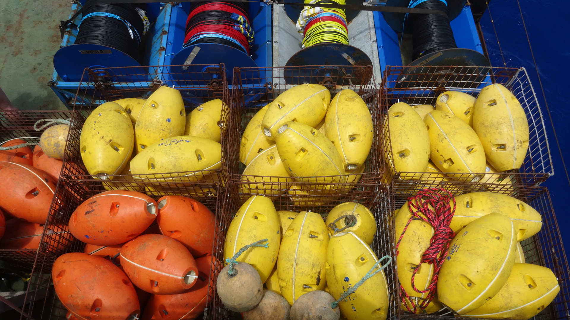
August'20
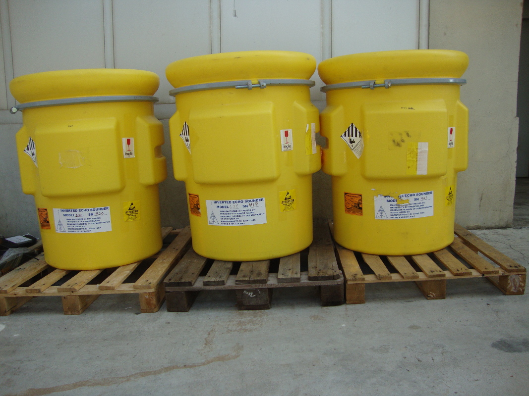
PIES acquisition for Cruise SAGA 9W
Image
October'20
-Personnel and technical resources planification for Cruises SAGA 34.5S and 9W
-Application for work in national waters (Brazil and South Africa)
Image
Image
Image
October'20
-Calculations to define the final PIES ubications
-Calculation of PIES observations error
February'21
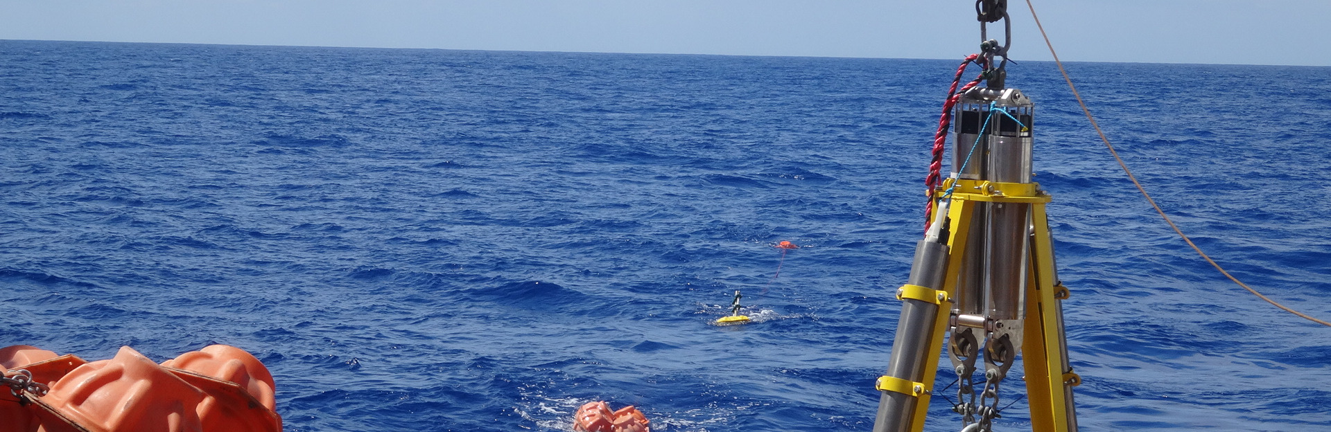
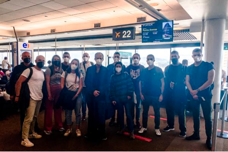
Cruise SAGA 10ºW (9ºW)
Researchers have arrived to Punta Arenas
Image
March'21
SAGA 10W Cruise starts from Punta Arenas to Las Palmas
Image
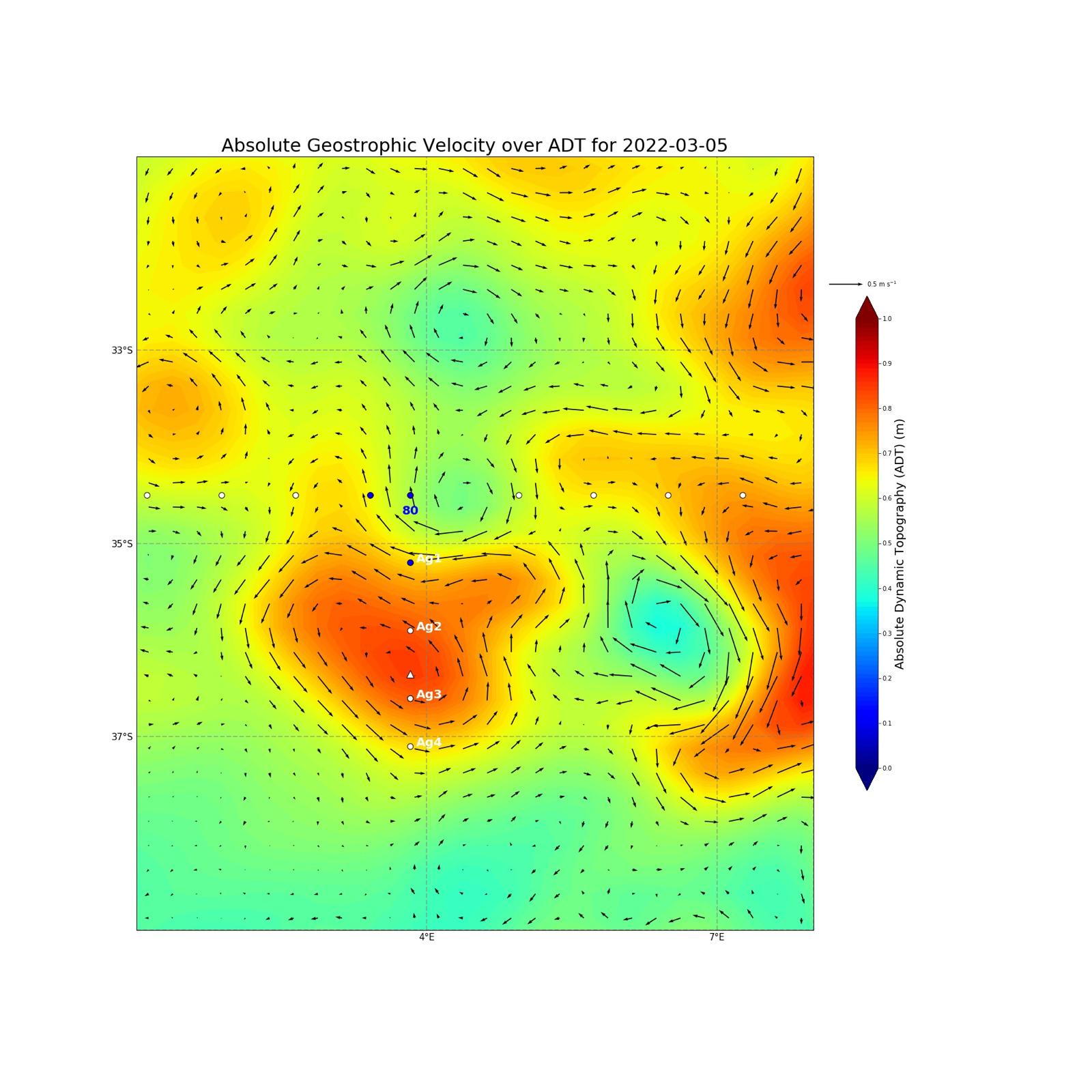
January'22
Cruise SAGA 34,5ºS
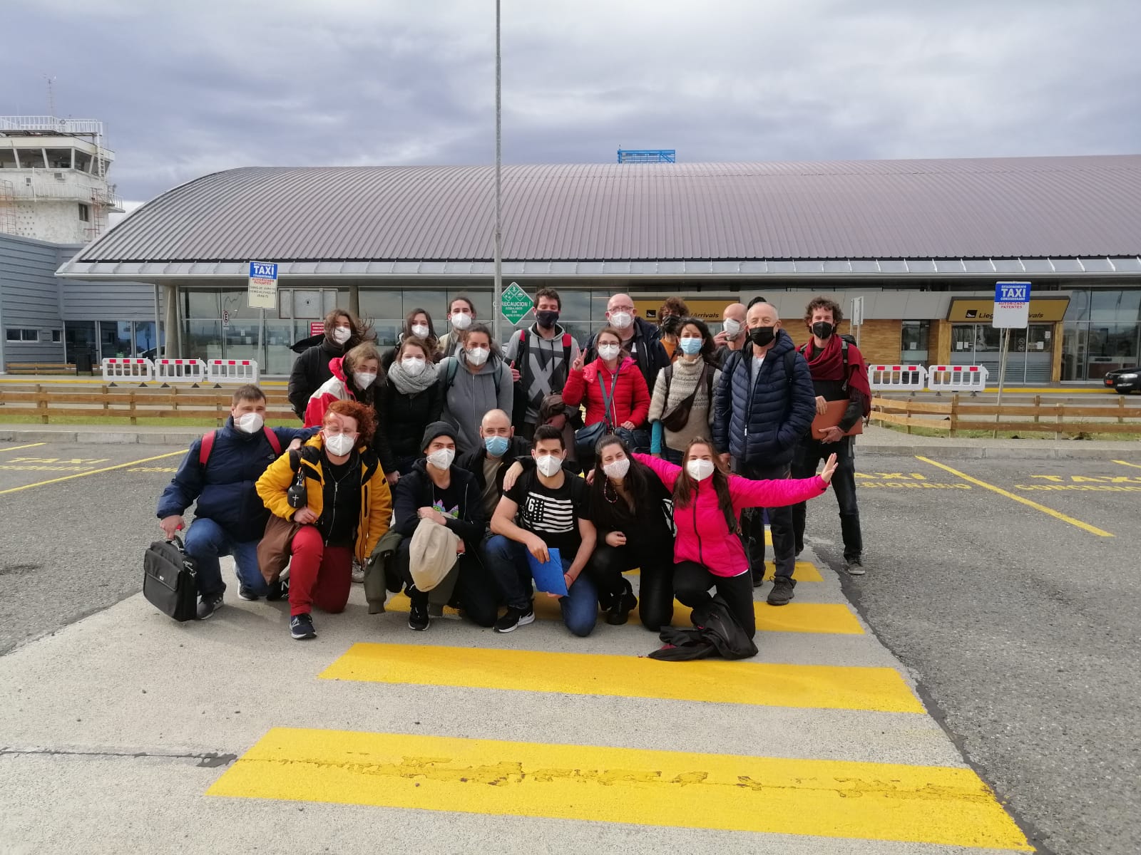
The researchers have arrived to Punta Arenas
Image
February'22
The campaign starts
Image
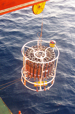
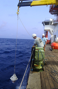
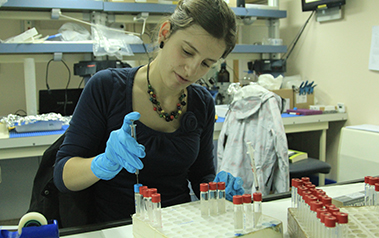
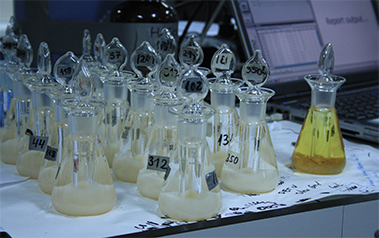
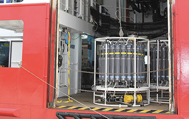
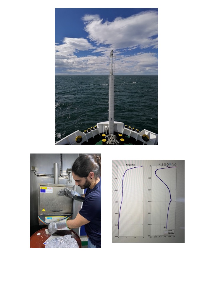
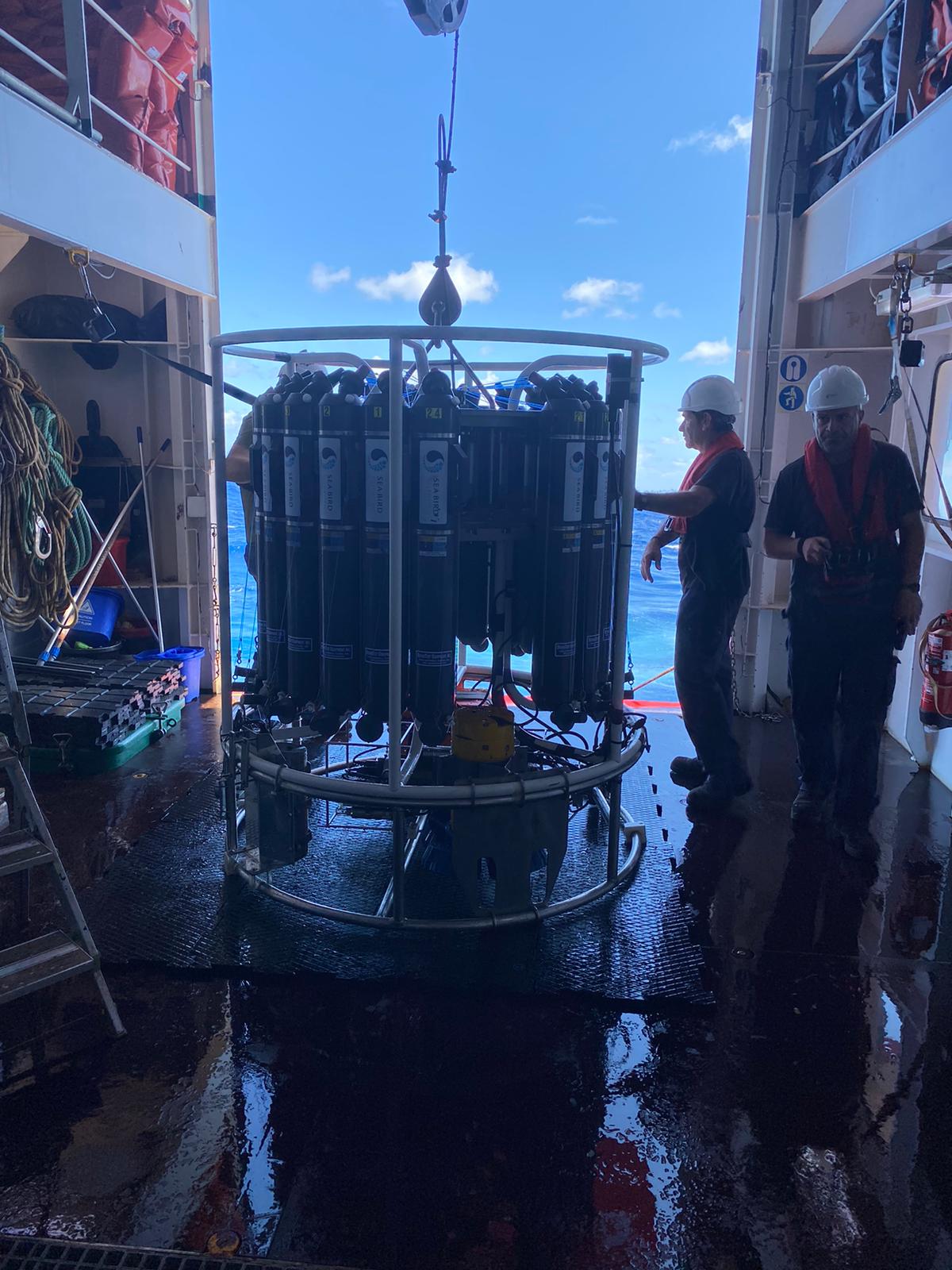
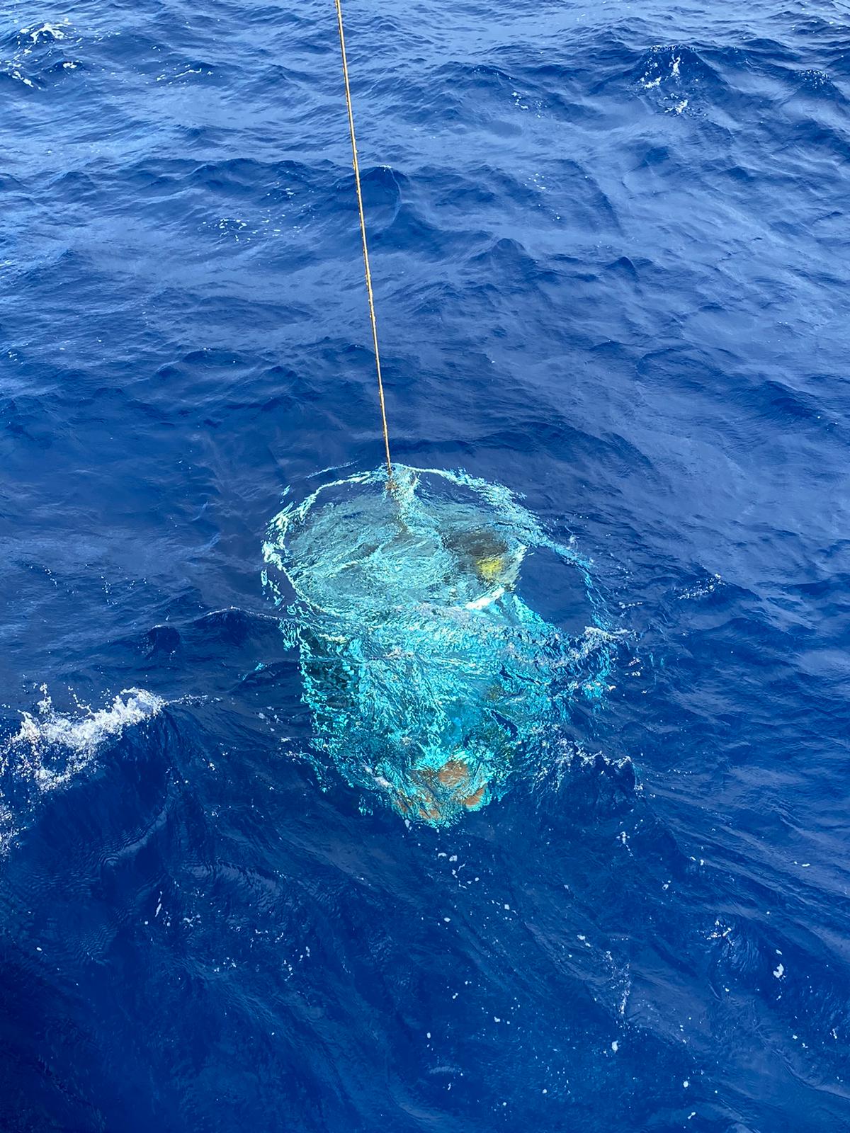
February and March'22
Researchers are monitoring and sampling
Image
Image
Image
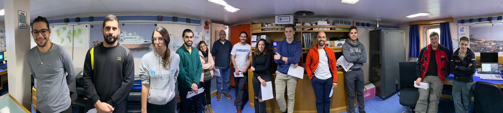
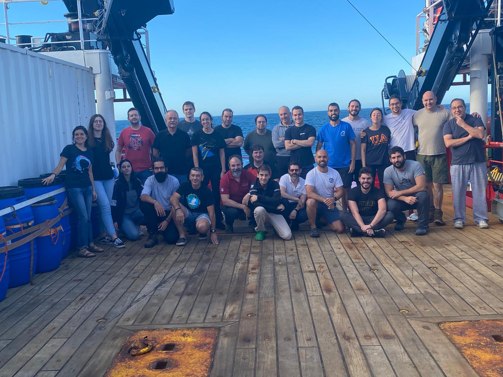
March'22
The cruise is finished at Cape Town
Image
Financian
Image